The nice thing of Hong Kong is that in merely one hour, you can reach isolated islands where you are basically left to explore. Ok, I am exaggerating, of course, for a day trip to “grass island” is anything but adventure. Tap Mun in its Cantonese name, the island has long been a fisherman’s haven back in the days where China did not plunder all the resources around. Nowadays, there is a hesitant reconversion towards tourism, but the island lacks facilities and is small, both of which make its charm and make it less well known.
An antiquated ferry
Catching the ferry to Tap Mun island can be done in two places, both of them already involving about one hour commute. You can either catch it in Sai Kung, or near HK University, in Tai Po district. The ferry in those places is called “kaito”, an older indigenous name. The ferry does stop on its way to several small islands where people disembark, apparently to camp or swim.
All in all, the ferry ride takes over one hour, exploring the surroundings of Plover Cove. Upon arrival in Tap Mun, you disembark right on the jetty.

Most of the visitors (a lot of mainlanders from China) rush into the restaurants instead of exploring the island (which is small, less than 1 km² for the walkable section). As to me, I did the whole hike barefoot as is now becoming customary.
Tin Hau Temple
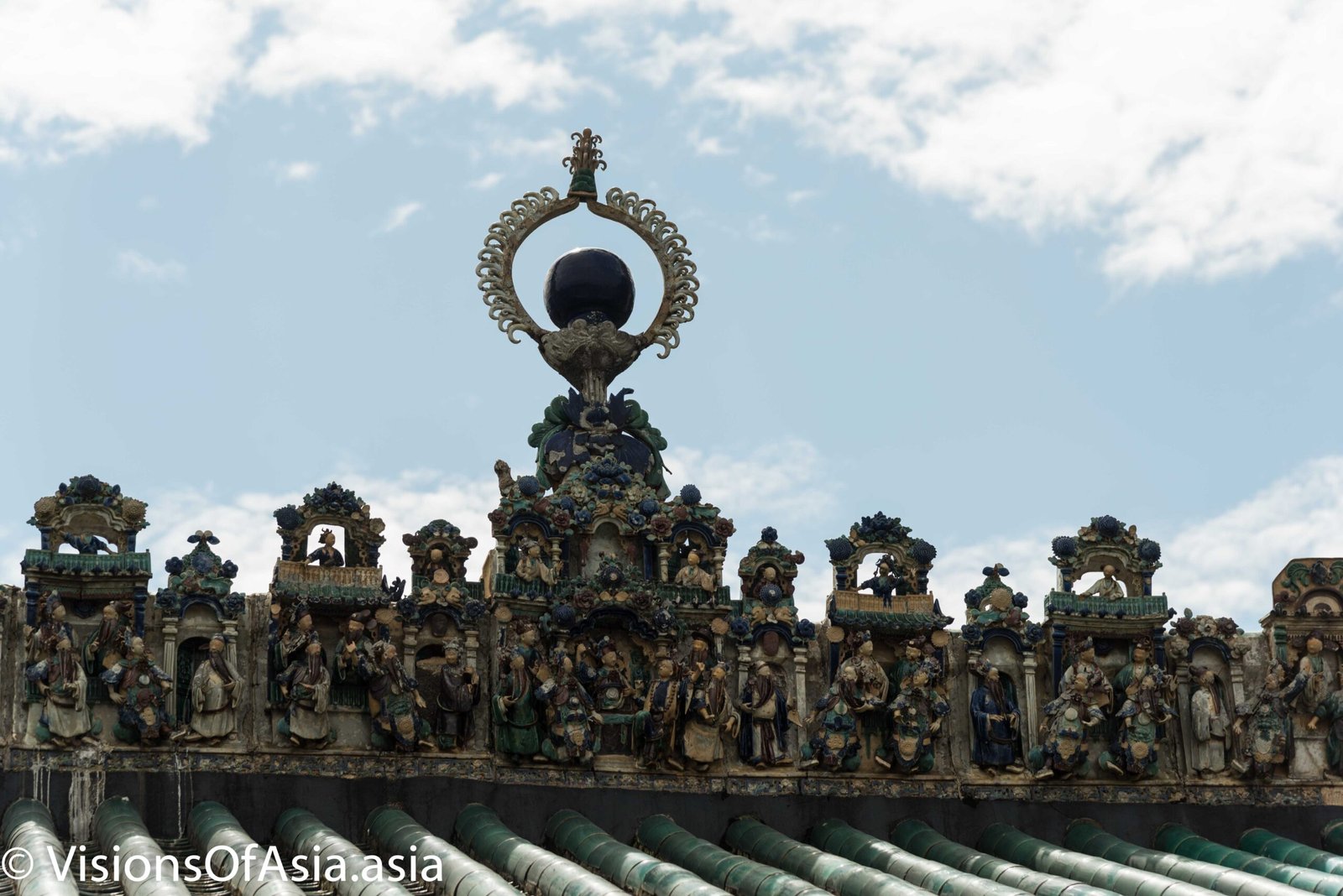
The island is small, so five minutes after leaving the jetty, you will come across one of the oldest structures of Hong Kong, the Tin Hau temple. Aged 400 years, this temple is said to be connected to a cave on the other side of the island.
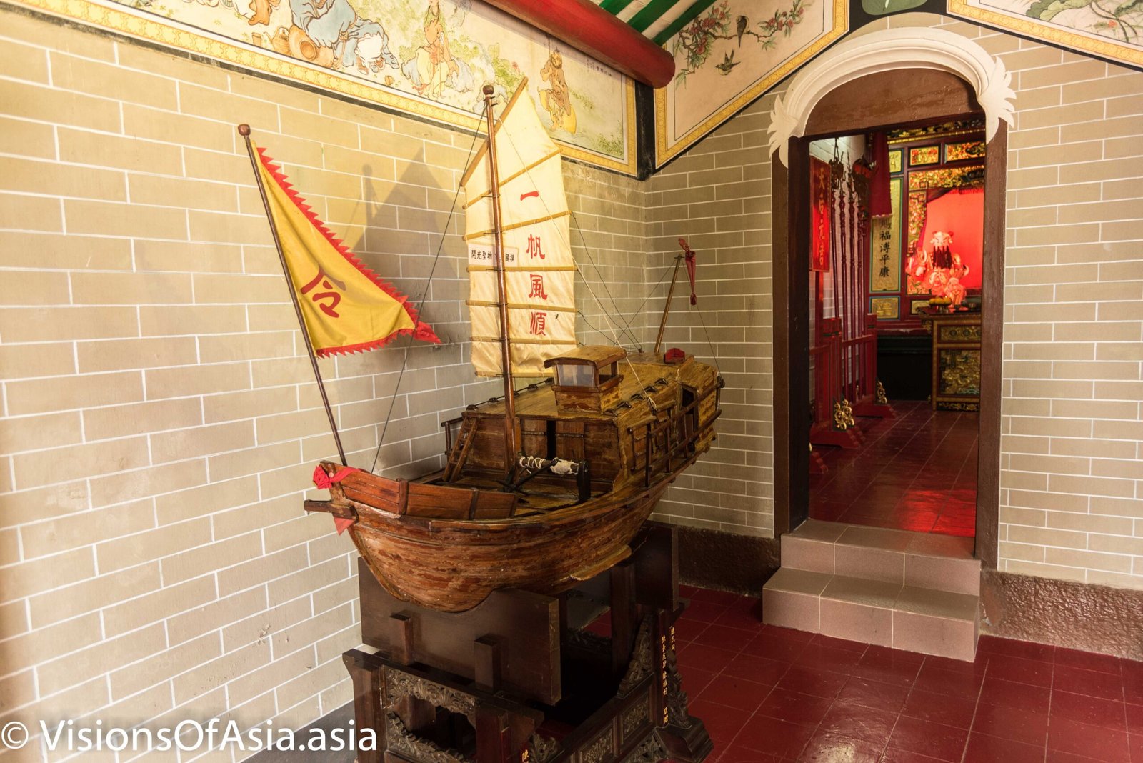
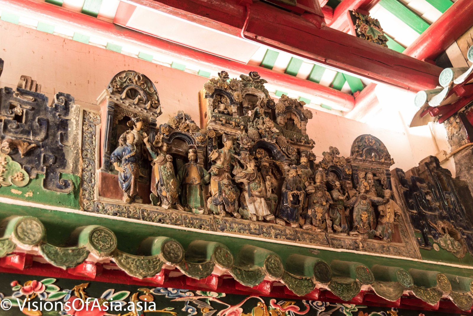
A sign of the relationship of the island to the sea life can be found in the presence of a wodden model boat inside the temple. If you go there, don’t miss the delicate ceramic figures on either side of the altar.
When taking a look at the big picture, you can see the location of the temple is just near to the harbour, and was probably at the center of the fishing community 400 years ago. You can also see to the right how Tap Mun island provided a nicely protected cove for fishing boats.

The first traces of population on the island go back to AD 1573, the Tanka people starting to use the island and building the Tin Hau Temple towards the XVIIth century.
A grassy island
The nickname of “grass island” is easily understood once you walk a bit around. Great parts of the islands are covered in grass, with some forest on the uninhabited part.
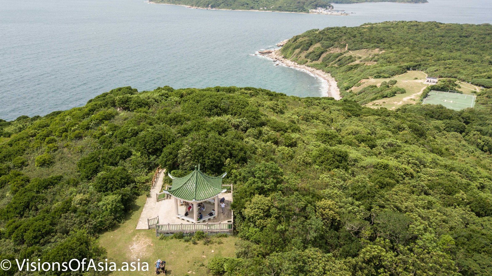
Once again, using a drone allows to see the full size of the island and to better understand its structure. I did have some interested people during my flight, however. Thankfully my friend, Matthew, was helpful enough in talking to them.
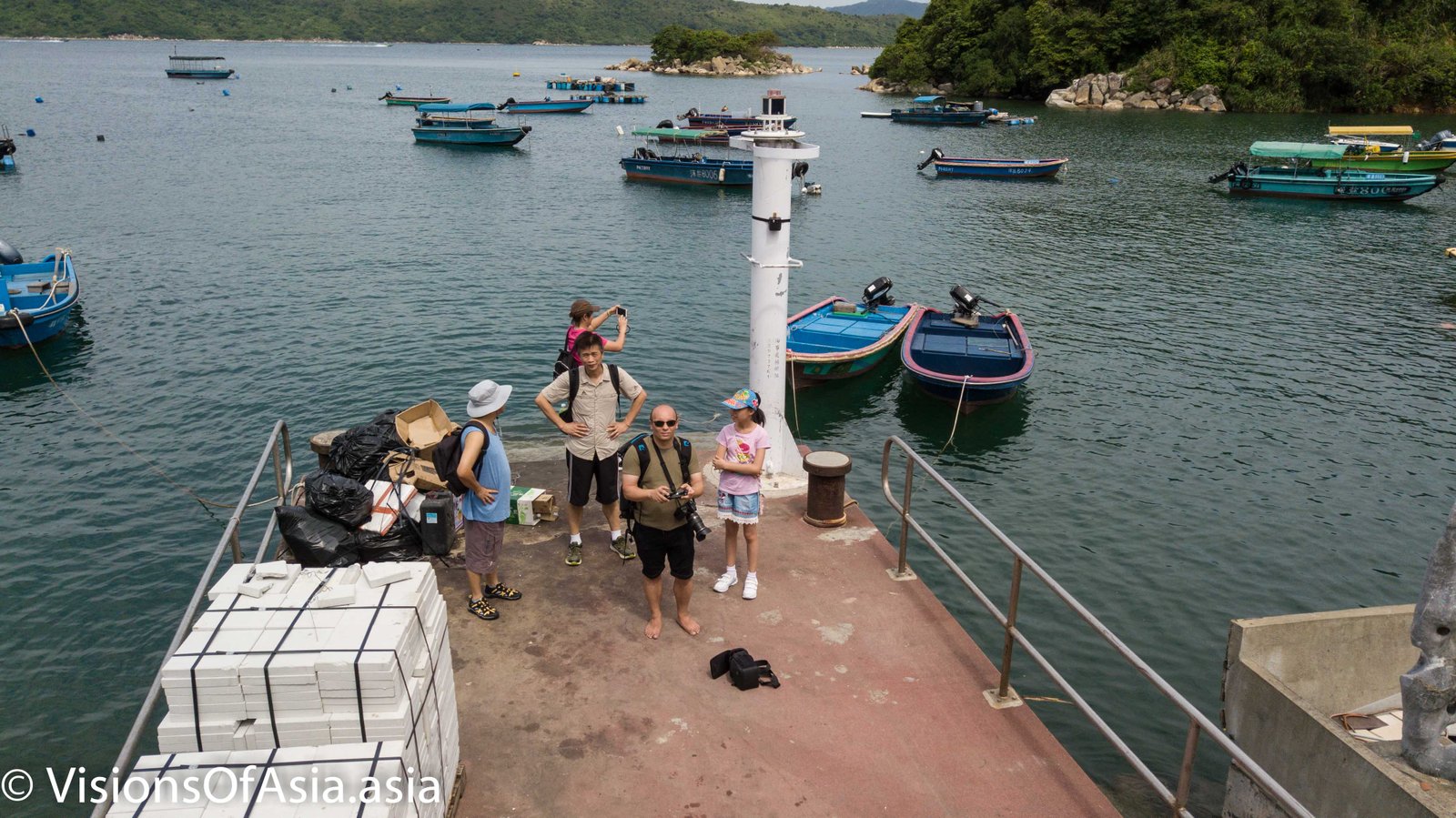
Some tourists do sit down on the gentle slopes, others try to camp over there.
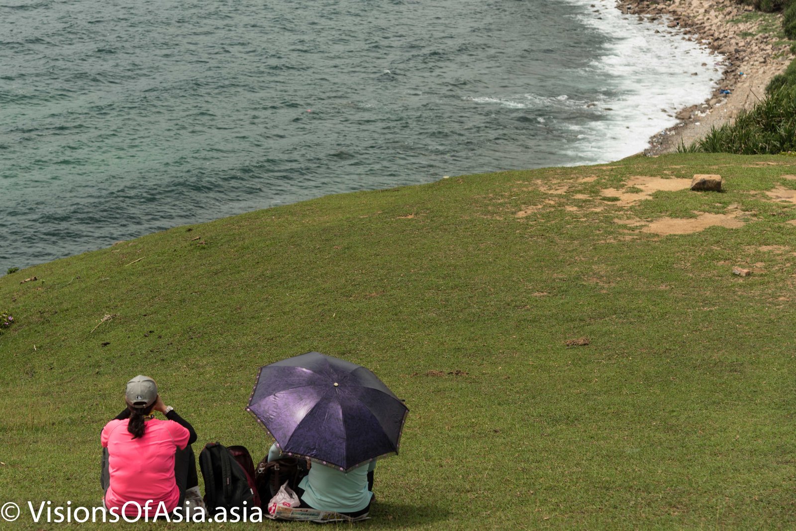
In fact, the walkable portion of the island island is about 1 km, so you get around very quickly. But the presence of shelters makes it quite easy to move around and visit the island.
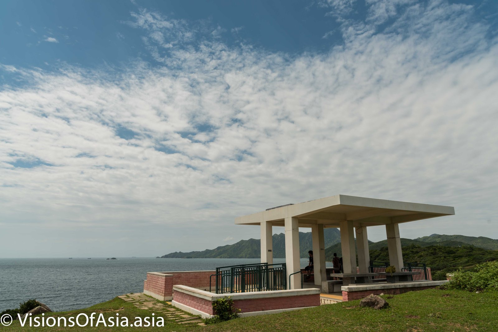
Feral cattle
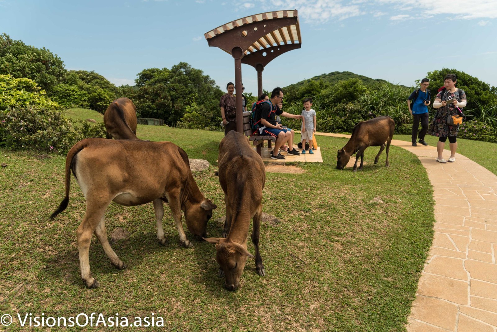
Tap Mun island is also home to a small population of feral cattle. Namely, these are descendants of cattle that were released when the locals left. Nowadays, although “wild”, they are among the kindest animals of the sort that you can see in Hong Kong. They are all over the grassy slopes of the island.
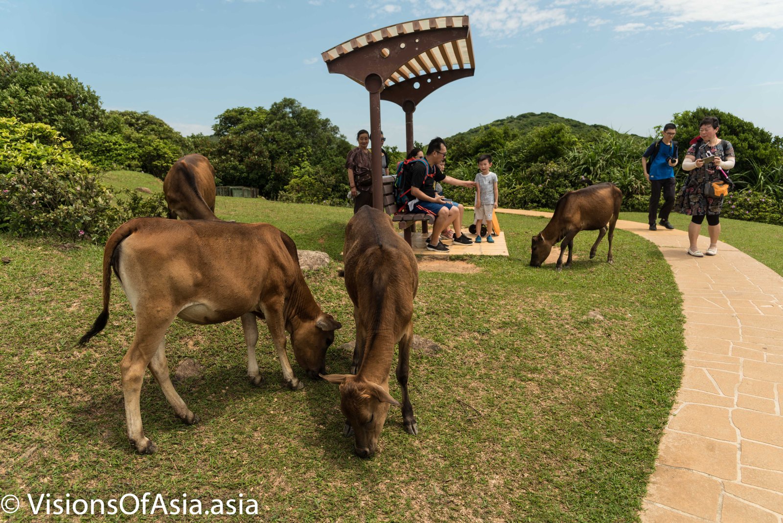
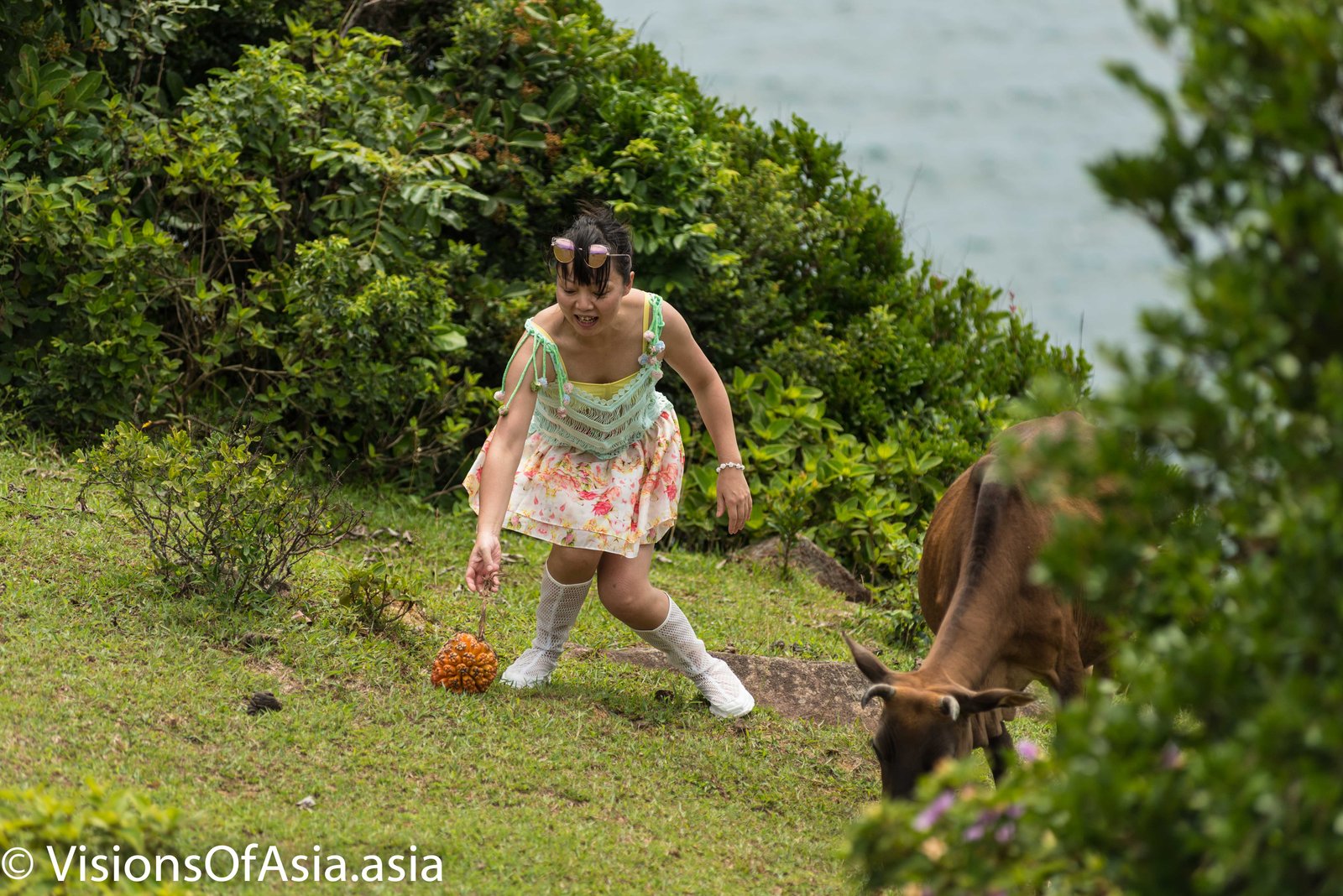
Although kind, these animals are not domesticated. As such, you should not caress them or attempt stunts with them. Of course, this recommendation falls into deaf years with mainland Chinese who get into hot waters trying to have a pic taken with the cows.
The “Balanced Rock”
The “balanced rock” is a natural rocky formation created by erosion, which left two rocks standing in equilibrium on each other.

Many tourists stop on the top of the cliff and take in the beauty of the island.

To get there, you must take a small buffalo path on the flanks of the hill (left on the photo below).
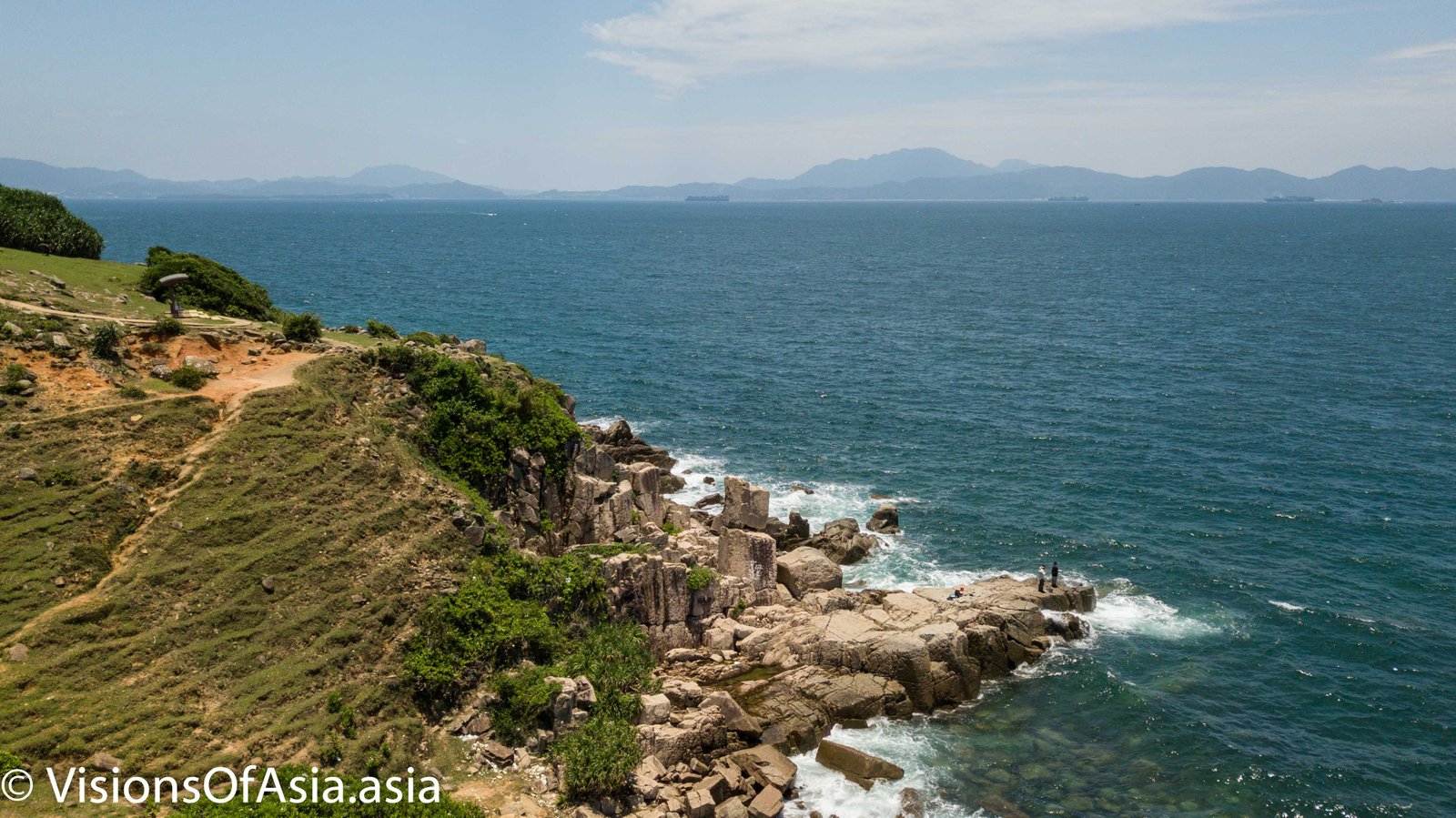
Legend has it that a cave nearby communicates with the Tin Hau temple. At any rate, it is worth veering off the main course and seeing the balanced rock up close, but few hikers do that (the descent looks more impressive than it actually is, as I did it barefoot).
Fishermen on the island
The fishing past of the locals is still very present nowadays on the island. During my visit, I could see a man fishing on a cliff right above the crashing waves.
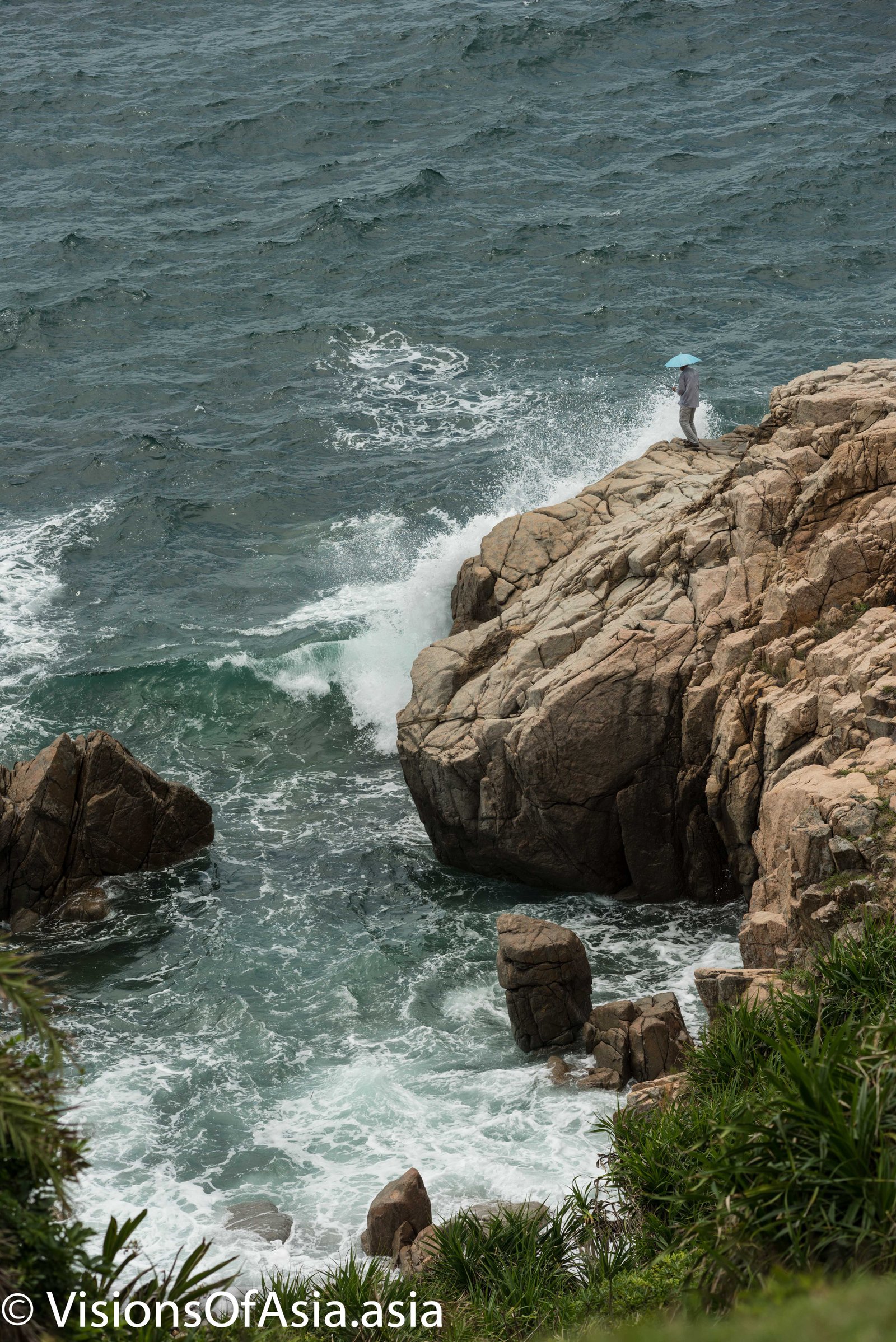
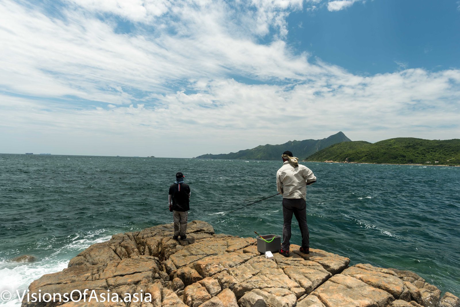
Further to that, there were two other fishermen who were trying their luck near the balanced rock in a position less exposed to the waves.
Finally, here is a walk through Tap Mun island with my friend, Matthew.
How to get there?
The first ferry for Tap Mun island leaves at 8.30 in the morning (full schedule here). To catch it, you must first take the east line of the MTR to University Station.From there, you can walk or catch a taxi to the Mau Liu Shui ferry pier.

