Tai Mo Shan is the highest mountain in Hong Kong, culminating at 957 m. Despite being in Hong Kong for two years already, I had not visited Tai Mo Shan until recently. It must be said that it is a bit out of my way, and I already have the famous suicide cliff near to my place. I even went back there recently, but that will be the object of another post.
A photography meetup
I went up Tai Mo Shan with the members of a photography meetup, the PASM meetup. We went the day before the Typhoon Mangkhut hit the city, because prior to the typhoon, there is always some marvelous atmospheric effects in the sky.
Having missed the bus to Tai Mo Shan, we caught an Uber to be on the safe side. The side benefit of taking an uber was that the driver took us up about halfway up.
A windy start
Being on the side facing Yuen Long, we faced strong headwinds. An attempt to take off with my drone ended in a crash-landing that created some damage to the gimbal, although that damage was not immediately apparent.
Despite the wind, we managed to take some pictures on a rocky outcropping.

Climbing up
Although we had come halfway up on Tai Mo Shan, we still had halfway to walk, and so, we started climbing. Along the way, there is a viewpoint over the town of Tsuen Wan. While it is just the habitual cityscape of Hong Kong with high rises and some view of the sea (read: unremarkable), it was interesting to play with the drone around that area.

Of course, since the scene was there, I did take a dronie… Barefoot of course, as I was hiking the whole mountain barefoot.

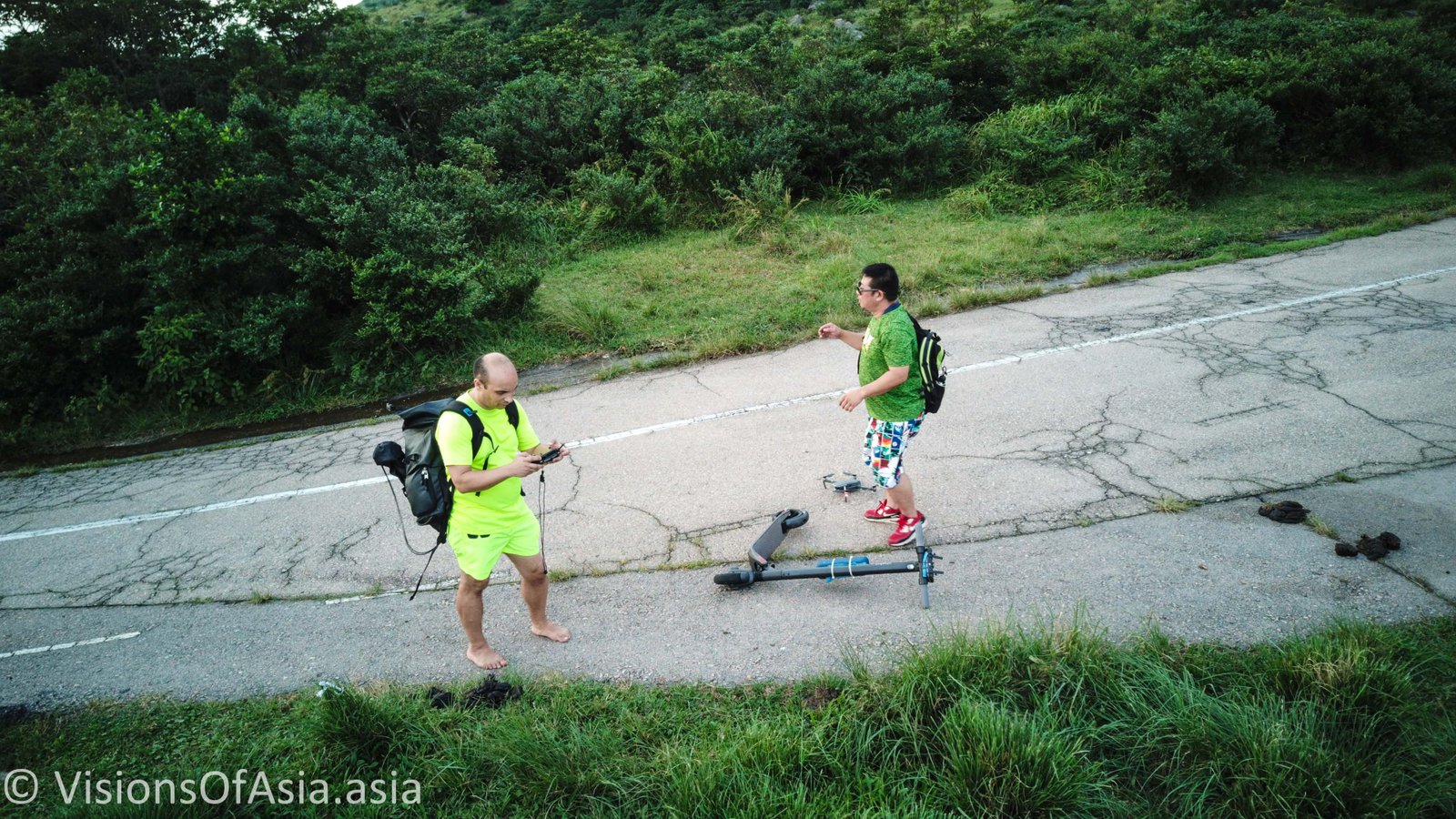
The most fun was when another Mavic Pilot came down the mountain with his own drone, while he was actually riding a scooter. We then exchanged dronies capturing each other with our respective drones.

The sunset over the mountain
Finally, after having climbed even higher, we came to an ideal position to see the setting sun. We were blessed with some angel lights shining through the clouds which made the sunset quite spectacular. Despite the proximity of the typhoon, and despite being on the exposed side of the mountain (again), there were no gusts, so the drone managed to be quite pliable.

Despite the lower dynamic range of the Mavic Pro, the picture is quite similar to the picture shot with the Nikon D 750.

The reason for the absence of reddish sky is due to the wind which dispersed the pollutants which habitually diffract the blue part of the solar light. Habitually, Hong Kong and Bangkok are gifted with quite spectacular sunsets due to the high presence of pollutants in the sky. An approaching typhoon, obviously disperses these pollutants.
Going down
Once the sunset over, we started going down, also to get home on time to shelter from the typhoon. Nevertheless, that is when the sky started showing some spectacular hues.

It was the occasion for me to shoot a pic of Bailey who, after a lot of prodding, finally decided to take off his shoes and start barefooting down the mountain.
Obviously, I took it to the next level, when I decided to jog down the mountain with my heavy backpack, still barefoot… But that is how a barefoot hike can be as much fun as a barefoot run!
Getting to Tai Mo Shan
We took it the easy way, as we hired an uber which took us up to halfway the mountain. Nevertheless, if you wish to climb Tai Mo Shan more “classically”, you must first head to the Tsuen Wan West MTR station. From there, you grab bus n° 50 and alight near the mountain. From there, it is impossible to get lost, as the path to the top is straight and paved until the end.

