On a nice Sunday, my friend Matthew and me, both decided to go for a hike around , but an exploratory hike, without knowing too much where we were headed. In the end, it took us across some less traveled trails all the way down to the Maclehose trail.
Starting with a climb
Of course, although I live near to Kowloon Peak, this still means I must climb about 300 m to get to the Kowloon Peak viewpoint. As usual with any hike lately, I did it barefoot.
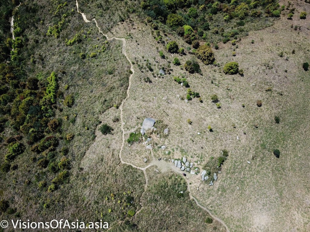
I met Matthew who was coming from Shatin, near to Tate’s Cairn, where I managed to fly my drone. As the scenery is gorgeous, I managed to take a panorama pictures with my Mavic Pro. To do this, the drone takes about 21 shots and stitches them together (in fact, I stitched them in post-prod under Lightroom). The result offers a gorgeous view over the whole area.

Around Tate’s Cairn and Kowloon Peak, it is fairly civilized as there are practicable roads around. It changes when you get around Kowloon Peak and down to Gilwell camp site. just near the camp site, there is a small mountain called “Tung Yeung Shan“, where a small (partly build) track leads.
An unnoticeable little mountain
Tung Yeung Shan often pales from its proximity with the famous Kowloon peak and its “suicide cliff”. So, only the most passionate hikers pay attention to the mountain on the right, yet, although not as spectacular or difficult as its big brother, this little mountain can be fun to explore.

Climbing the mountain is pretty straightforward as can be seen in this video.
Where it gets tricky, is once at the top, when you decide to follow the trail (there are some discrete markers here and there, but the trail is not much used, so you must really search for them among the high grass).
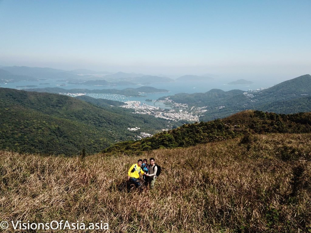
The view at the top offers a perfect perspective on both, Sai Kung and Shatin. A few months ago, I managed to capture a perfect picture of a group of young hikers on the same mountain.

Getting lost to find your way
As this was a first time exploration, we relied heavily on trail markers by previous hikers. This worked well, until we got down from the mountain.
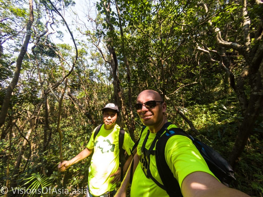
Then, at a point, the trail got lost in the middle of a woody area. The words “Nel mezzo del’ camin’ di nostra vita”, came to mind, and I pictured myself as a new Dante lost in the forests of life.

We then had to do some exploring in the middle of an unmarked forest. In the end, hearing voices of other hikers, we finally managed to retrieve the main route.
For a barefooter, while descending, the most annoying part is those cutting edges of cement steps. Even more so than the twigs or small stones sometimes lodged in the middle of the steps.
On the MacLehose trail
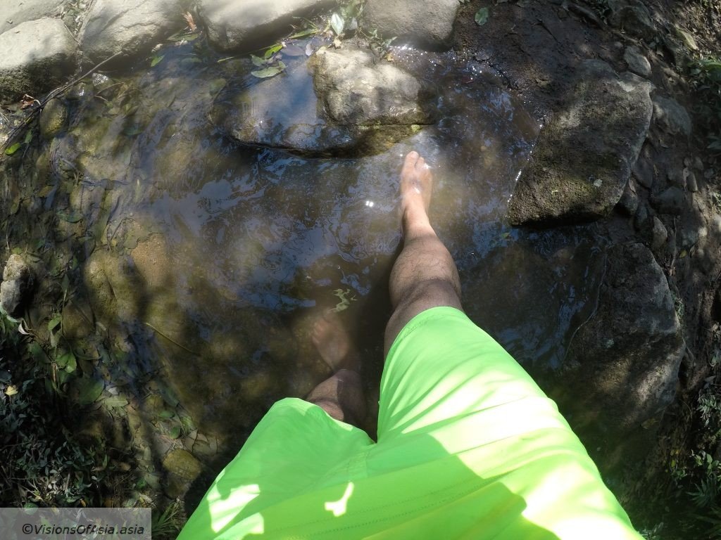
There are two ways to reach Sai Kung: taking the MacLeHose trail, or taking the Wilson trail. We happened to take the MacLehose trail, but had misjudged our water resources. The MacLehose trail is quite picturesque and beautiful and easy to get down from (most hikers prefer climbing it). At a point, I took a water dip in a little stream by the side of the trail…

We finally exited in a little town closer to Shatin. Exhausted by our exploration and the heat, I headed straight to get some drinks, while we decompressed after the gruesome exploration.

