I tackled a fairly easy (ok, just because it is paved, but the effort required is tough at the start) trail barefoot. The Ancient trail from Tsuen Wan to Yuen Long which I hiked barefoot, was built centuries ago, to connect two of these localities in Hong Kong’s new territories by land. Today, they have become a hiking trail, mainly paved and generally requiring some extensive walk.
Tsuen Wan: doors open to the large
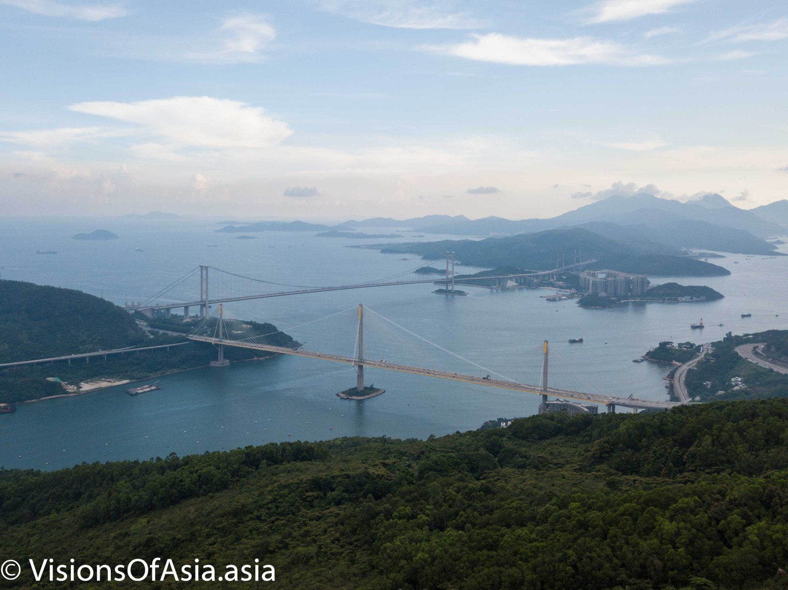
Tsuen Wan being on the Western edge of Hong Kong is also, in some way a door open to the large. From its surrounding mountains, you can see the container harbor, as well as the Tsing Ma bridge. And what’s more, it is an excellent plane-spotting point. Towering at 458 m, the highest point of the hike allows to see from quite close the underbelly of the planes on their final approach to the airport.
A steep climb
When you get to Tsuen Wan (if that is the direction you elect to hike, many people go the other way, starting in Yuen Long), you start the hike just opposite the Adventist hospital. The trouble is that you are in for 500 m steep climb for about one kilometer or two.
While on the hike, I crossed many trail runners tackling this trail.
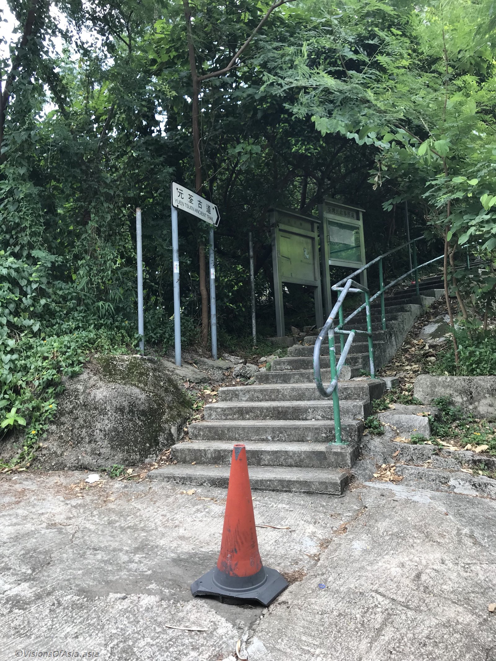
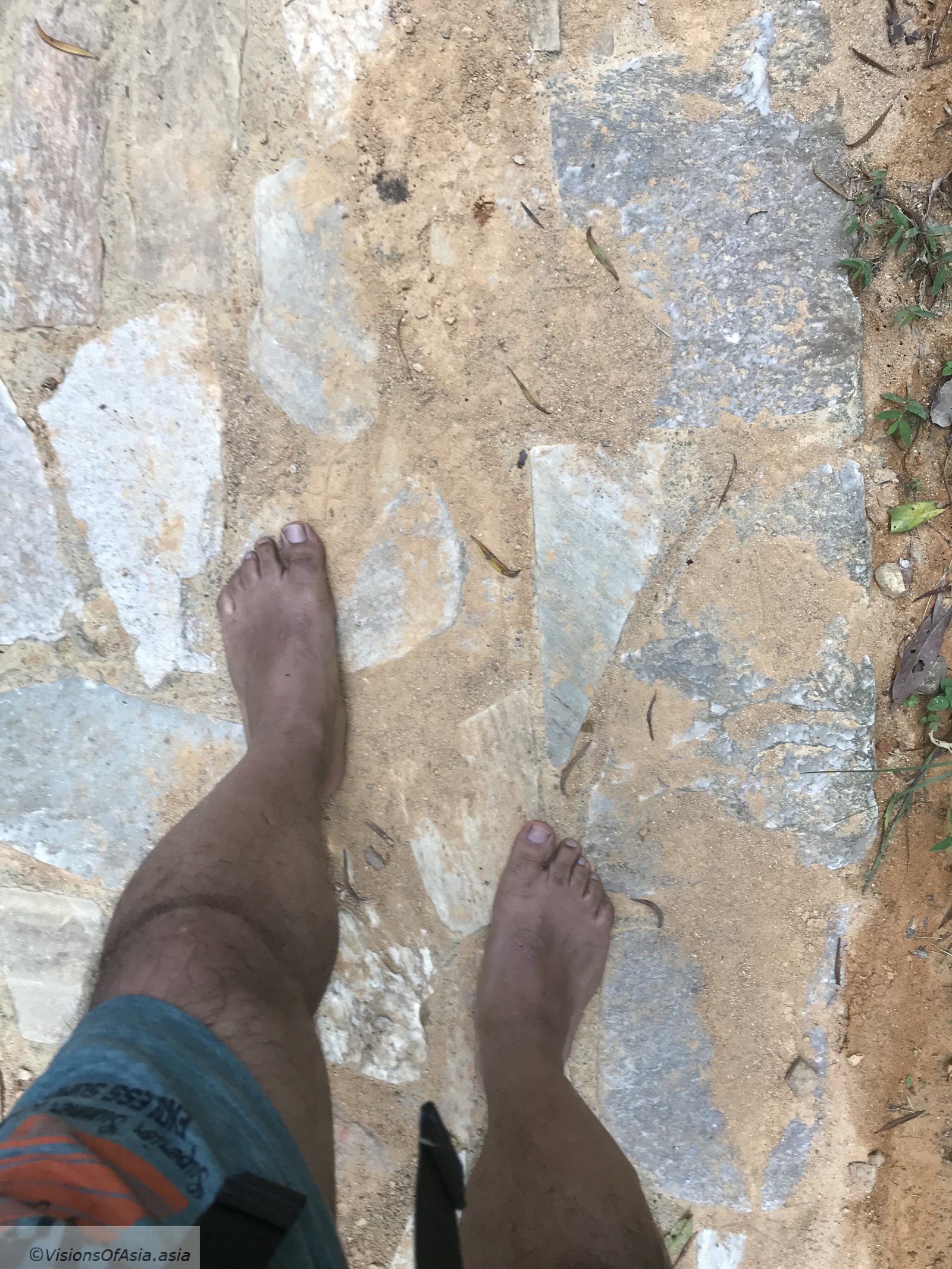
Although the path is cemented, it climbs relentlessly for at least 1 km. Under the harsh sun and heat of that Sunday afternoon, it was grueling with my 12-kgs camera bag on top of it. It must be said that the floor was also close to scalding as I was hiking barefoot and it was sunny that day. Difficult not to be discouraged when seeing the endless climb.
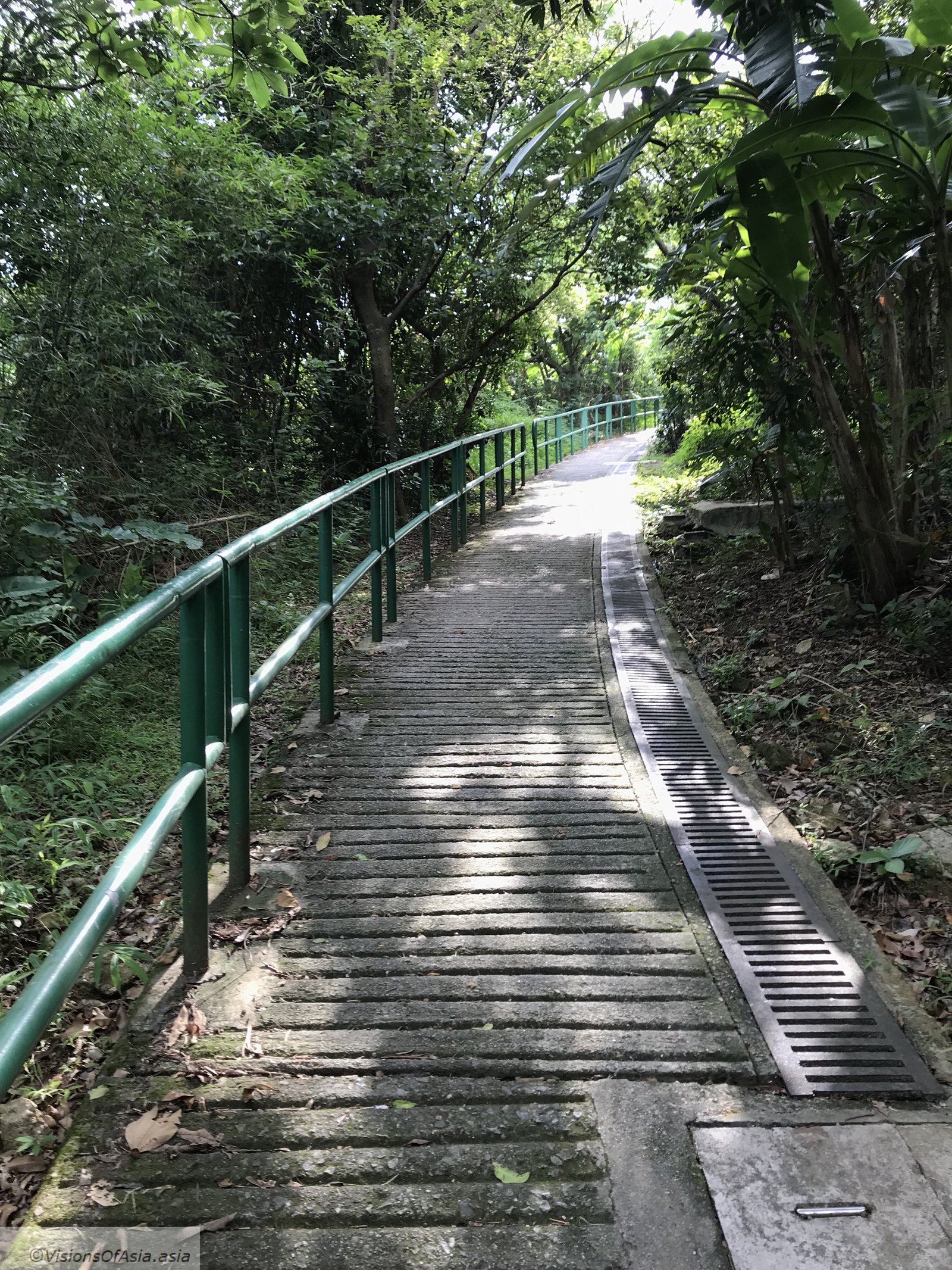
I tried to fly my Mavic Pro here, but the metallic bars in the paved road kept giving wrong feedback to my drone’s compass, so, for safety, I decided to wait and get to a more open area.
The gorgeous views over Tsing Ma bridge
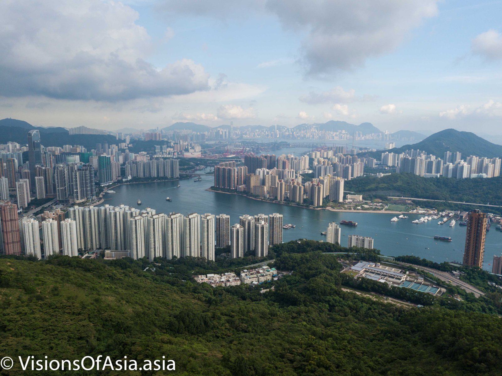
The Ancient Trail is an ideal place to obtain a great view on the Tsuen Wan and the three bridges.
The ancient trail itself is mainly composed of big stone pavements. They are very easy to walk upon, except when it is very sunny, as it can quickly scald your bare feet.
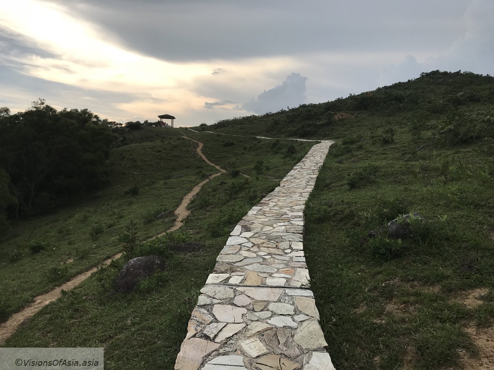
Obviously, as it was getting late in the afternoon and it was a bit cloudy, the trail was still walkable. On the side of the trails, you could see the traces left by feral cattle.
Drone views over the trail
It must be said that flying a drone safely is not possible over the whole trail. Although a significant part of the trail is exposed, in some places, the iron rebar in the trail confuse the compass, in others the tree canopy makes it impossible to take off.
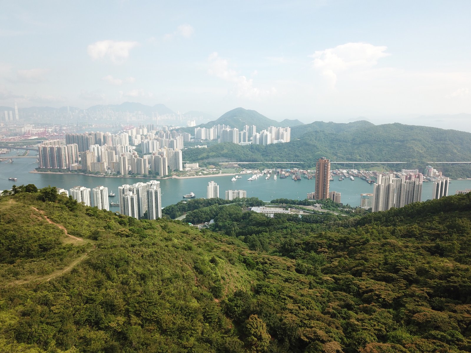
But when you can launch your Mavic Pro, you are greeted by majestic views.
Similarly, photography is just as interesting, except that the distance and the wide angle of the drone do it a disservice for the spectacular views.

Looking back on the city of Tsuen Wan is more rewarding in terms of photographic effect.
At any rate, once you arrive at these viewpoints, you are merely at the beginning of the trail. The trail continues then for several kilometers, always through paved roads. In some places, however, the paved road is damaged (or more exactly, they are in the process of repaving it). While technical, the trail is quite doable barefoot (at least at my level of training) and here is the video to prove it.
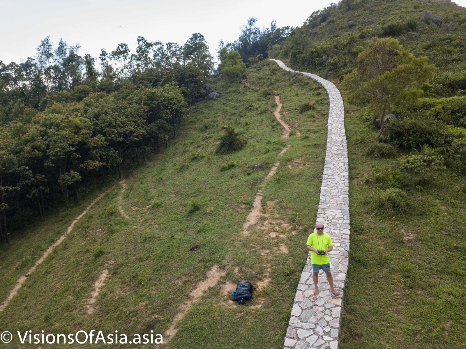
And then, of course, the habitual dronie on the trail:
As the evening fell, I only managed to reach the halfway of the trail, namely Sham Tseng, which is the only earliest exit short of returning on your steps. If you are interested, there is a famous roasted goose restaurant, just near the exit of the trail.
From Sham Tseng, I grabbed a minibus to Tsuen Wan, where eventually I managed to catch a MTR towards my home to the other end of the city.

